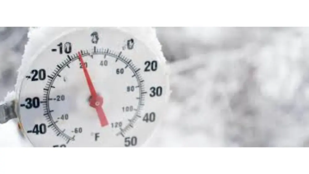
If you’re traveling around north-central Iowa this Thanksgiving weekend, you’ll want to bundle up and stay weather-aware. Cooler temperatures are settling in for the holiday, and meteorologists are watching the potential for snow from Friday night into Sunday, which could affect the trip home for many families.
RadioOnTheGo Meteorologist, and President of the Storm Report, Dan Holiday, says the weather patterns are changing as colder temperatures arrive ahead of the Thanksgiving holiday.
“The colder air is really going to be diving in here Wednesday night, just before Thanksgiving. And then once we notice that, things are going to be dry until our next system comes in on Friday. Now, because temperatures are going to be right about in the upper 20s on Friday, this next system, the way it’s tracking, looks like it will come in the form of snow for us. It may start out sort of a wintry mix, then transition. And we’re watching that on the computer models now. It would occur probably as early as seven, maybe six, seven p.m. on Friday night.”
Holiday says wind chills will dip below 15 degrees Wednesday night into Thursday and daily high temperatures will be below 30 degrees through the holiday weekend and into at least early next week. As for snow totals, Holiday says there will be measurable snowfall this weekend but exact totals are yet to be determined.
“I will tell you the different computer models at this point will give you different amounts. There’s obviously different ways that we measure the potential snow that could be coming in. You know, we’re seeing here anywhere from about two and a half to three inches of snow that wants to come in. Keep in mind the ground is still fairly warm, even though it’s going to be colder here, but that’s one of the computer models. Then once we get into, I would say Saturday afternoon, we’re seeing another system that wants to come in and add some additional snow to that. So I would say on the lower end, we’re looking at about two and a half to three inches that we could be seeing here, especially from Friday night into Saturday.”
He adds that with a lot of information circulating on social media, make sure your source of weather information is a reliable one.
“There’s a lot of folks that can make homemade pages that look real out there. So if you do scroll across some of them, some of them will be wildly over-exaggerated. Make sure it’s a trusted source, like those of us here at Radio on the Go and the National Weather Service. But some other ones, like John’s Weather page or something, may be a little bit off. So we want to make sure you’re using a trusted weather source.”
Holiday says the timing and intensity of the snow may shift, so travelers are encouraged to monitor updates through the weekend.
Full interview below