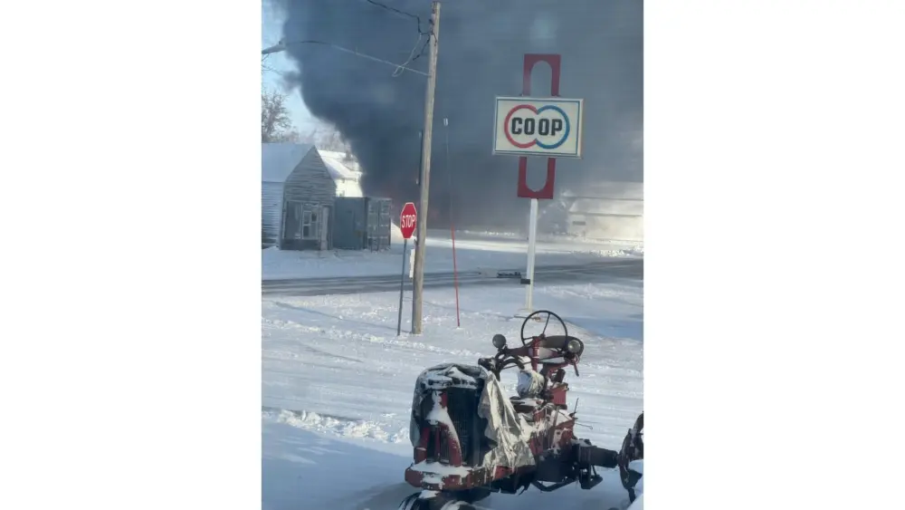
Photo Credit: RadioOnTheGo News
A major winter storm impacted much of the broadcast area Sunday (3/15/26) into early Monday (3/16/26), leaving hazardous conditions across the region. Snowfall totals varied, with about 4 inches reported at the RadioOnTheGo studios in Hampton, though strong winds caused drifting that made exact measurements difficult.
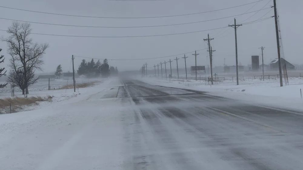
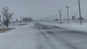
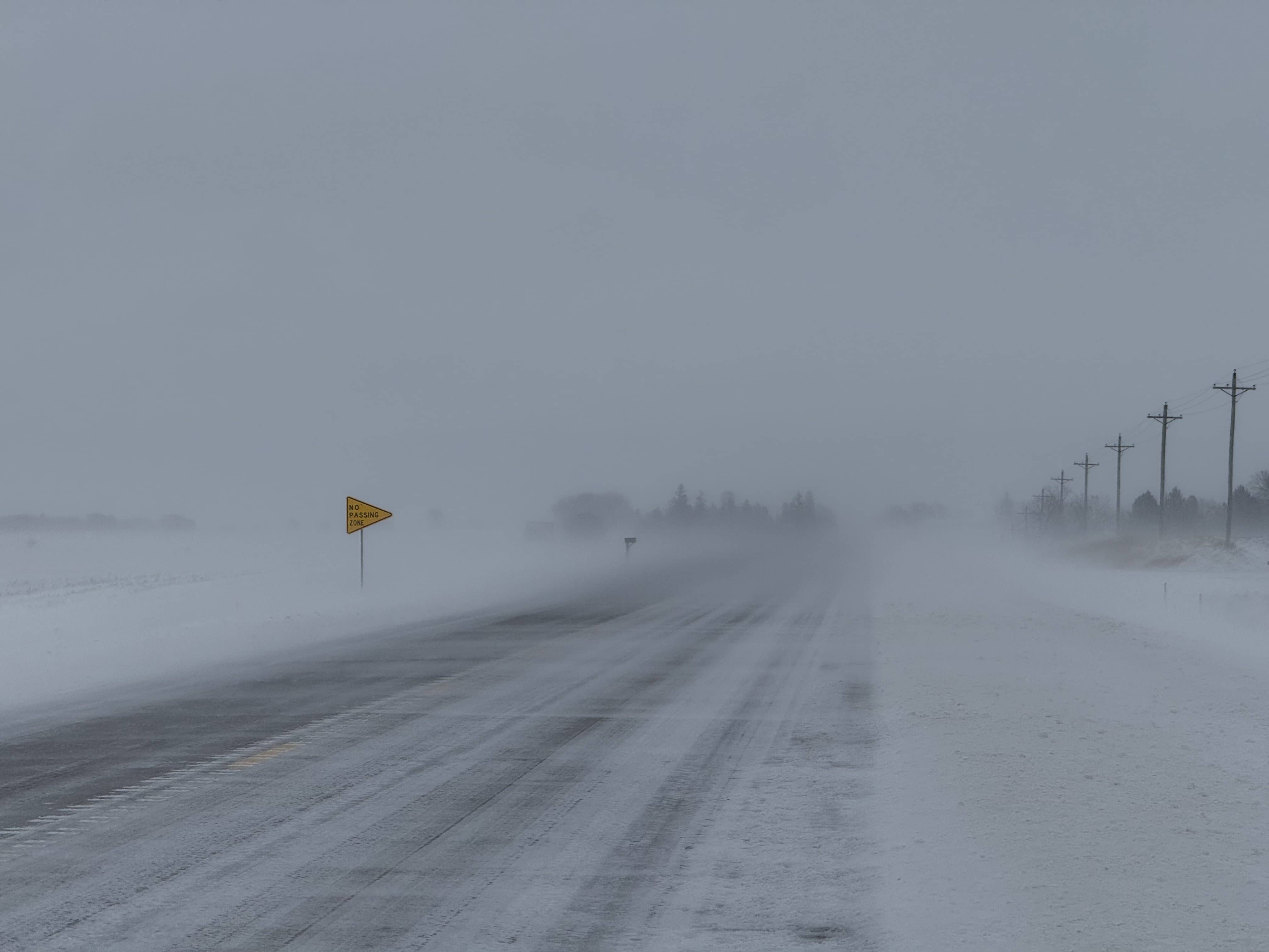
The National Weather Service in Des Moines had issued a Blizzard Warning from 7 a.m. Sunday until 7 a.m. Monday and a High Wind Warning through early Monday, with gusts up to 65 miles per hour. Travel was not advised and nearly impossible. Many road crews in northwest and north central Iowa pulled off the roads late Sunday night to wait out the worst of the storm. Visibility was severely reduced, and snow drifts made conditions treacherous across much of the area.
Looking ahead, Monday will remain cold and windy, with a high near 11 and wind chills as low as -25. Flurries and blowing snow may linger through midday. Tuesday brings a high near 25 with a chance of snow, while by Wednesday highs climb into the 40s, and Friday could see temperatures reach the 60s, signaling a dramatic shift from winter to spring which officially begins on Friday.